DisasterSense AI
An early-warning system that calculates automatic disaster risk levels from real-time, location-based weather data.
- React
- React Router
- TypeScript
- Vite
- Leaflet
- Zustand
Overview
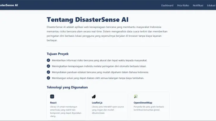
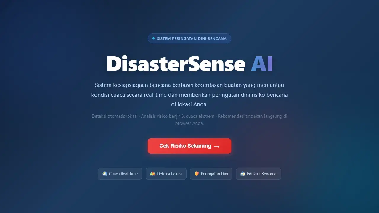
DisasterSense AI is a web-based early-warning system that helps Indonesian communities prepare for natural disasters by analyzing real-time weather data and automatically calculating disaster risk levels based on the user's location.
Problem
Existing disaster warning systems are often too technical for the general public to understand, disaster education is scattered across disconnected sources, and many solutions require installing an extra app when fast browser-based access matters most during an emergency.
Solution
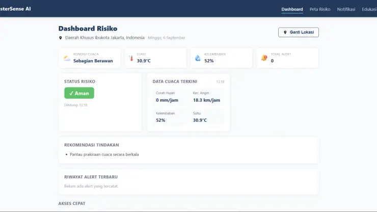
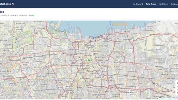
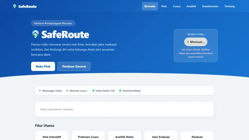
The app automatically detects the user's location (GPS or manual input with reverse geocoding), monitors real-time weather data (rainfall, wind speed, humidity, temperature), then automatically calculates risk into three levels Safe, Alert, Danger shown on an interactive map with color-coded location markers.
Features
- Automatic location detection via GPS or manual input with reverse geocoding
- Real-time weather monitoring (rainfall, wind speed, humidity, temperature)
- Automatic risk calculation with three levels: Safe, Alert, Danger
- Interactive risk map with color-coded location markers
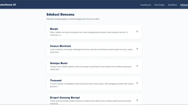
- Disaster education covering multiple types of natural disasters in Indonesia
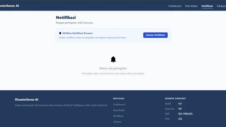
- Alert notification system with historical tracking
Tech Stack
React and TypeScript were chosen to build a reactive, type-safe interface, with Vite as the build tool for fast iteration. Zustand handles lightweight state management (location, weather data, alert history) without excess boilerplate. Leaflet (via React Leaflet) renders the interactive risk map. Weather data comes from Open-Meteo and geocoding from Nominatim/ OpenStreetMap, both key-free public APIs, in line with the backend-free approach.
Challenges
Designing sensible risk-calculation thresholds from raw weather data, and handling the case where location permission is denied with a smooth manual input fallback.
What I Learned
This project reinforced the value of minimal state management (Zustand) over heavier solutions, and how to structure threshold-based risk classification logic that stays transparent and easy to explain to non-technical users.
Result
DisasterSense AI delivers location-based disaster risk estimates directly from the browser with no installation, covering education for multiple types of natural disasters in Indonesia.
Gallery