SafeRoute
A disaster preparedness platform with an interactive risk map, real-time weather, and evacuation routing.
- Vue
- Vue Router
- Vite
- Pinia
- Leaflet
- Chart.js
Overview
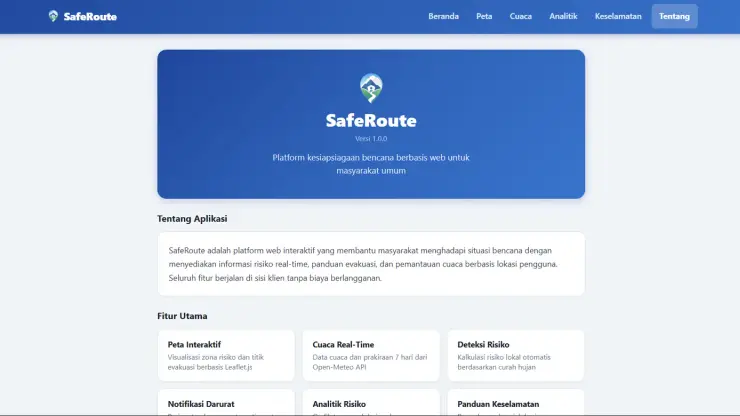
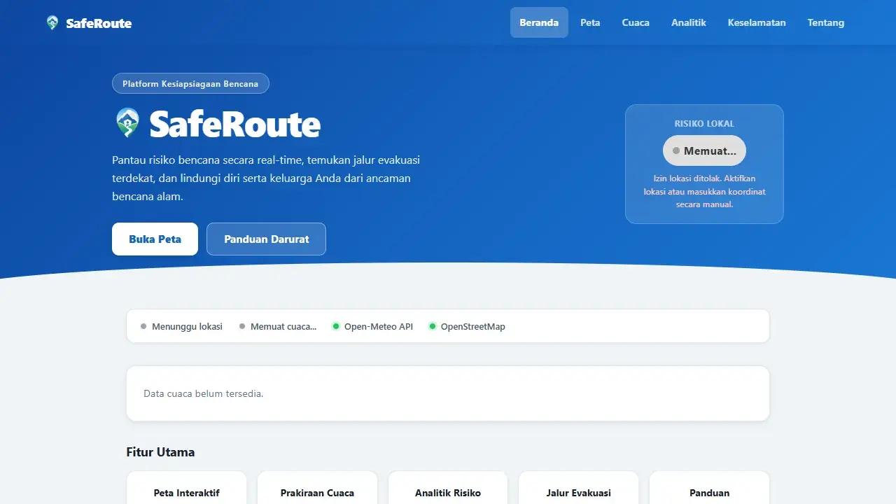
SafeRoute is a web platform that helps Indonesian communities prepare for and respond to natural disasters through real-time information and easy to understand guidance all running directly in the browser with no extra installation.
Problem
Disaster risk information is often hard to access in an understandable form, location-based evacuation guidance remains limited, and safety education is scattered across many different sources while rapidly changing weather conditions demand risk analysis that stays continuously up to date.
Solution
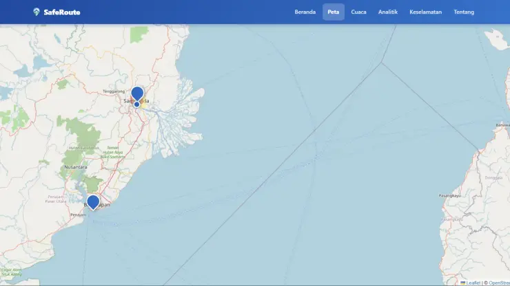
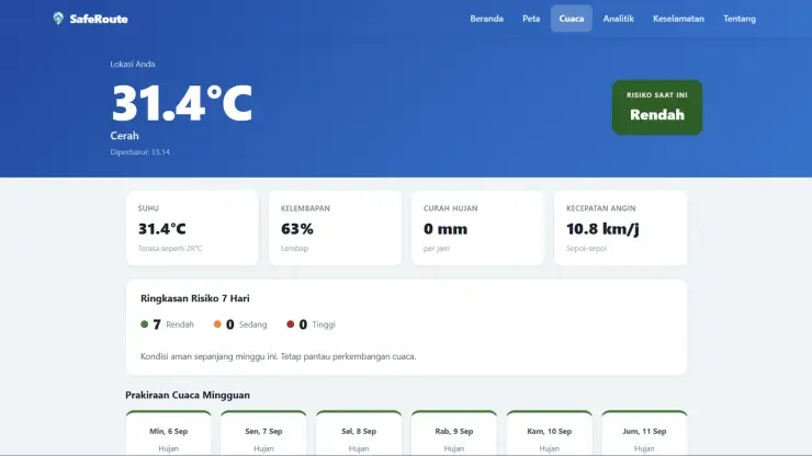
SafeRoute maps risk zones as an interactive, color-coded map by danger level, monitors weather in real time to automatically classify risk (low/medium/ high), and provides complete evacuation guidance for multiple disaster types along with shelter locations across Indonesia's provinces.
Features
- Interactive risk map with danger-zone polygons and evacuation routing
- Real-time weather monitoring and a 7-day forecast
- Automatic risk detection based on precipitation thresholds
- Emergency browser push notifications when risk escalates
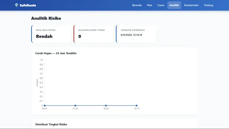
- 24-hour precipitation charts and historical risk distribution
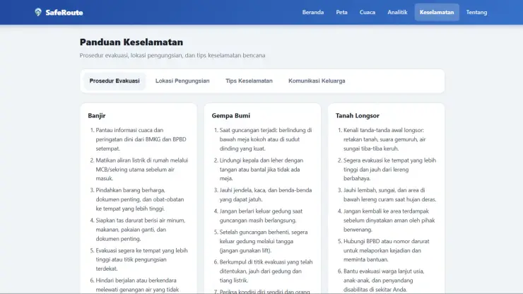
- Safety guidance for multiple disaster types and shelter locations
Tech Stack
Vue 3 and Vite were chosen for fast iteration on a visually heavy, map-centric app. Leaflet handles interactive map rendering and route calculation, Chart.js visualizes precipitation and historical risk data, and Pinia manages cross-component state (user location, risk status, alert history). Weather data comes from Open-Meteo and base map tiles from OpenStreetMap, both key-free public APIs, in line with the backend-free approach.
Challenges
Keeping risk classification consistent as weather data changes quickly, while avoiding duplicate notifications that would annoy users when risk status fluctuates within a short time window.
What I Learned
This project gave hands-on experience integrating geospatial data (GeoJSON, routing) with real-time weather data in a fully client-side workflow, including designing sensible risk thresholds from raw precipitation data.
Result
SafeRoute provides evacuation route estimates and location risk status directly from the browser, covering safety guidance for multiple disaster types and shelter locations across Indonesia's provinces.
Gallery